
Local
Heaviest rain in 100 days expected as weather system deepens
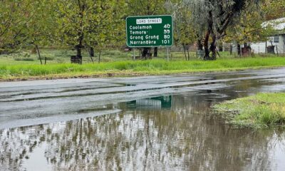
RAIN is set to return to the drought-stricken Riverina from Wednesday night, with a major weather system currently battering the NSW coast now expected to push further inland than initially forecast.
According to the Bureau of Meteorology’s latest forecast, Junee could receive up to 40mm of rain over the next three days—more than the town has seen in the past three months combined.
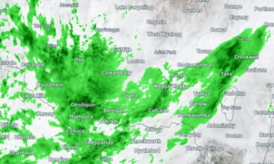
The system is expected to reach the Riverina on Wednesday night, with the heaviest falls forecast for Thursday before tapering off early Friday morning.
The sudden shift in forecast is due to a near-stationary low-pressure trough that has soaked parts of eastern NSW over the past 48 hours, triggering flash flooding and widespread rain.
- READ MORE: Pressure mounts as drought bites deep
Weatherzone meteorologist Ben Domensino said the trough is now expected to linger a little longer, drawing in significant moisture from the unusually warm Tasman Sea.
“This trough will continue to draw in moisture from abnormally warm waters in the Tasman Sea and cause persistent rain over parts of the Hunter and Mid North Coast districts, along with the adjacent ranges and tablelands,” he said.
“In addition to the 100 to 300mm that’s already fallen in the last 48 hours, some areas could receive another 100 to 250mm between Tuesday and Thursday—possibly more in isolated pockets.”
More importantly for the Riverina, the system is now tipped to stretch further south and west, delivering rain across inland NSW and the ACT, and even reaching into parts of eastern Victoria and Tasmania.
EYES ON THE SKY
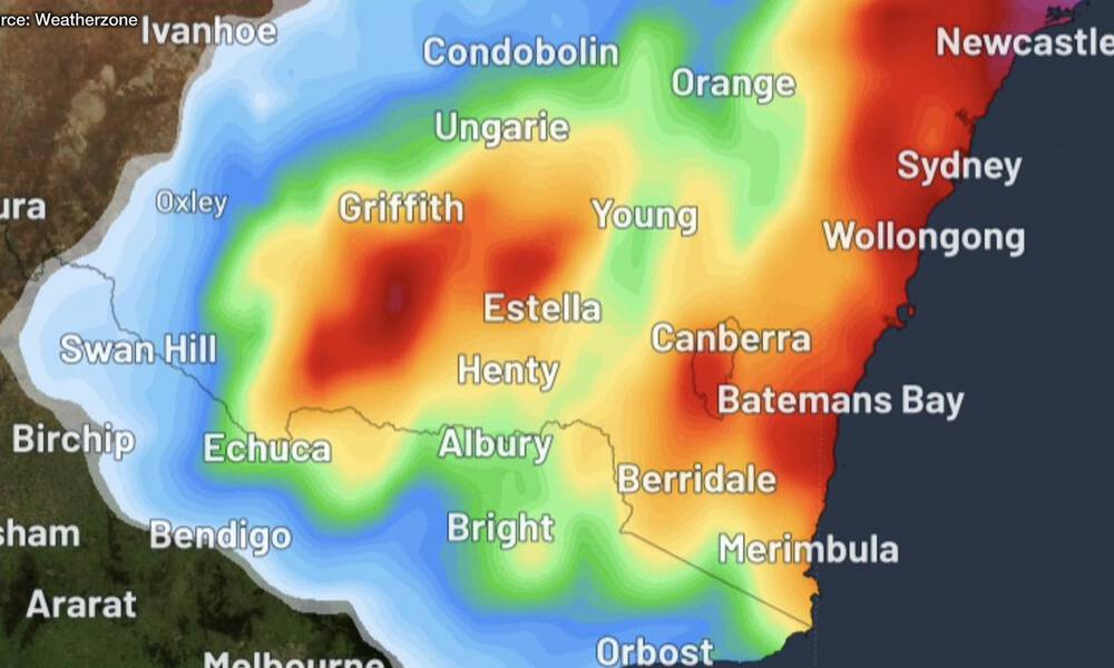
As of Tuesday night, forecast models were predicting widespread falls of between 30-50mm across some of the driest parts of the eastern Riverina, including Junee, Temora, Wagga, Gundagai, Coolac, Tumut, Cootamundra and surrounds.
If realised, it would mark the biggest rain event the region’s seen in over 100 days.
Since its last meaningful drenching on February 10, the town has recorded just 34.2mm—including a pitiful 4.4mm in April, the driest April since before the Black Summer.
While the rain isn’t likely to break the drought, it could provide just enough moisture to germinate recently dry-sown crops, offering a desperately needed reprieve to farmers on the brink.
The attached image from Weatherzone shows the updated forecast 3-day rainfall totals up until 4am Friday, based on the latest high-resolution modelling.


‘Enjoy your Easter’: PM uses national address to call for calm

Fuel Watch: First price drop hits Junee diesel dips below $3 in Wagga

Motorists warned fuel tax cut will take time to hit the bowser