
Local
Frosty start to first day of winter in Junee
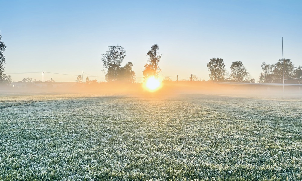
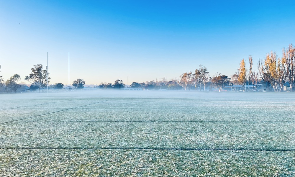
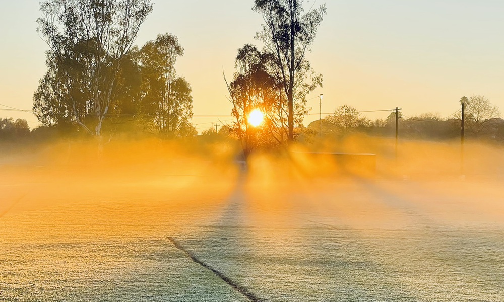
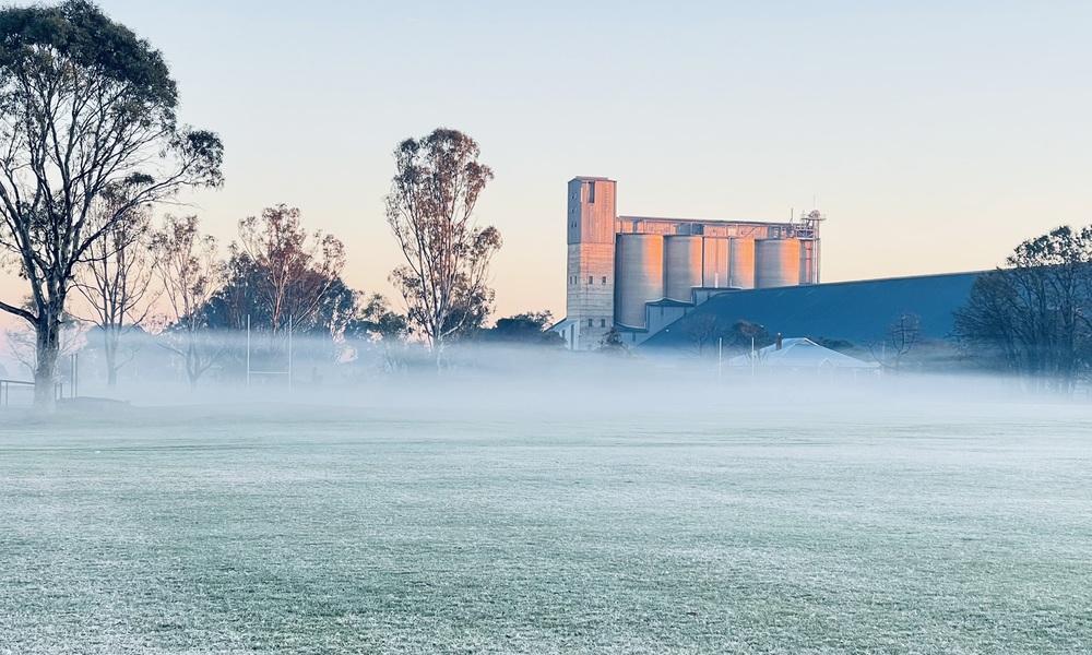
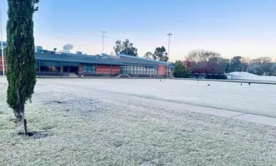
JUNEE has welcomed the first day of winter with a classic cold snap, with widespread frost, fog and a crisp golden sunrise heralding the start of the season.
Locals woke to a wintry wonderland as a thin layer of ice settled across the township overnight, turning ovals, rooftops and paddocks white.
While the Bureau of Meteorology (BoM) does not record official temperatures for Junee, nearby centres painted a clear picture of the frigid conditions.
The mercury dropped to a brisk -0.1°C in Temora at 6:16am, with a “feels like” temperature of -2.7°C at 7am, according to the BoM’s official gauges. Further south, Wagga Wagga Airport recorded a low of 3.9°C at 7:17am, while Kapooka dipped to 2.0°C at 4:45am.
The seasonal shift comes as no surprise to residents familiar with Junee’s frosty winters, but the visual transformation this morning was especially striking — with the sun’s rays punching through low-lying fog that had settled over the town’s sporting fields.
© The Junee Bulletin
© The Junee Bulletin
More chilly mornings are expected in the week ahead as winter settles across the Riverina.
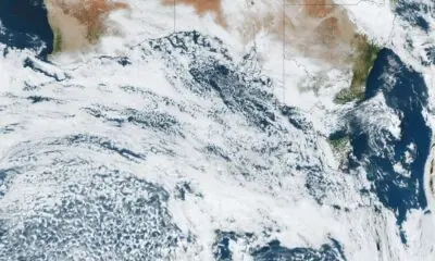
Multiple cold fronts are forecast to sweep southern NSW later this week, bringing sub-zero temperatures, rain, and possibly snow.
A sunny top of 17°C is forecast for Tuesday, before the first front moves through on Wednesday.
Temperatures are expected to drop below zero across the Riverina on Thursday morning — dipping as low as -3°C in some areas — before warming to around 13°C during the day.
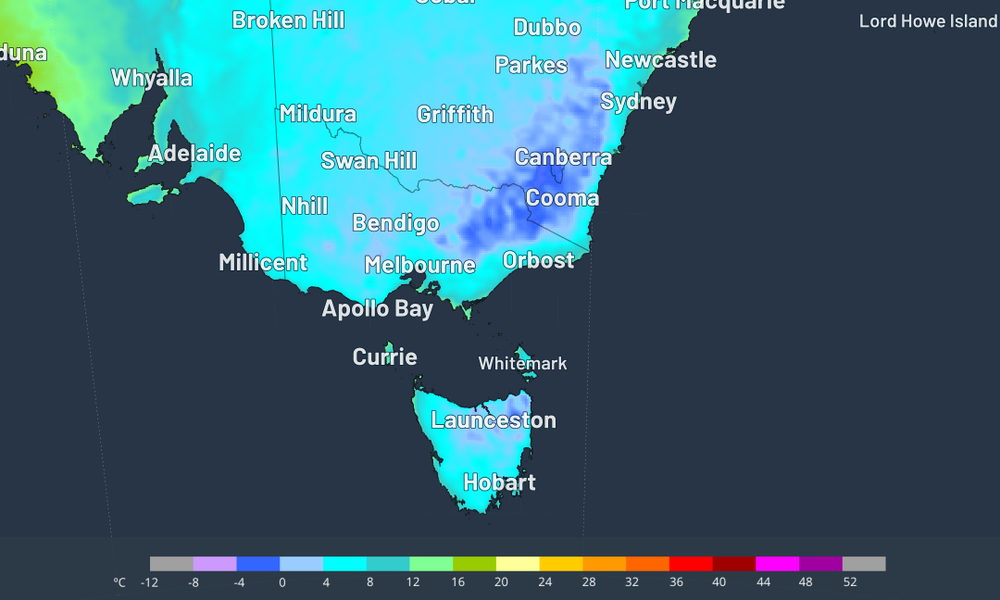
Minimum temperatures across SE Australia for Thursday, June 5, according to the ECMWF model | Source: Weatherzone
Weatherzone meteorologist Anthony Sharwood says a polar airmass is then expected to surge towards southeastern Australia later in the week.
He said this second system could deliver a “double punch”, with rain falling as snow across alpine areas on Saturday ahead of a more significant cold outbreak.
“The low pressure system and associated cold front are expected to form what’s called a cut-off low, which means a pool of cold air gets cut off from the band of westerlies that circulates south of Australia in the mid-latitudes,” he said.
“At present, the cold pool is projected to park itself right over the southeast, which could mean heavy snowfalls lasting two days or longer for the alpine region — with snow possible at lower elevations on Monday as the coldest air arrives.”
According to the latest forecasts, between 10 to 25mm of rain could fall across the Junee Shire between Saturday and Tuesday.
The coldest maximums of the year are also expected across the Riverina on Monday, with a top of just 11°C forecast for Junee.


THE BIG WHEEL | The Story So Far: Rain, resilience and a region united

Trees down as wild weather hits

Abby’s 400th game caps memorable month for Junee Jaguars