
Local
Polar Storm: Junee shivers as snow blankets high country
A POWERFUL polar blast swept across southeastern Australia over the long weekend, bringing widespread snow to the Snowy Valleys and bitterly cold conditions to the Riverina, including Junee.
Snowflakes first began falling in the high country early Sunday morning, with conditions quickly intensifying across elevated areas as the day went on.
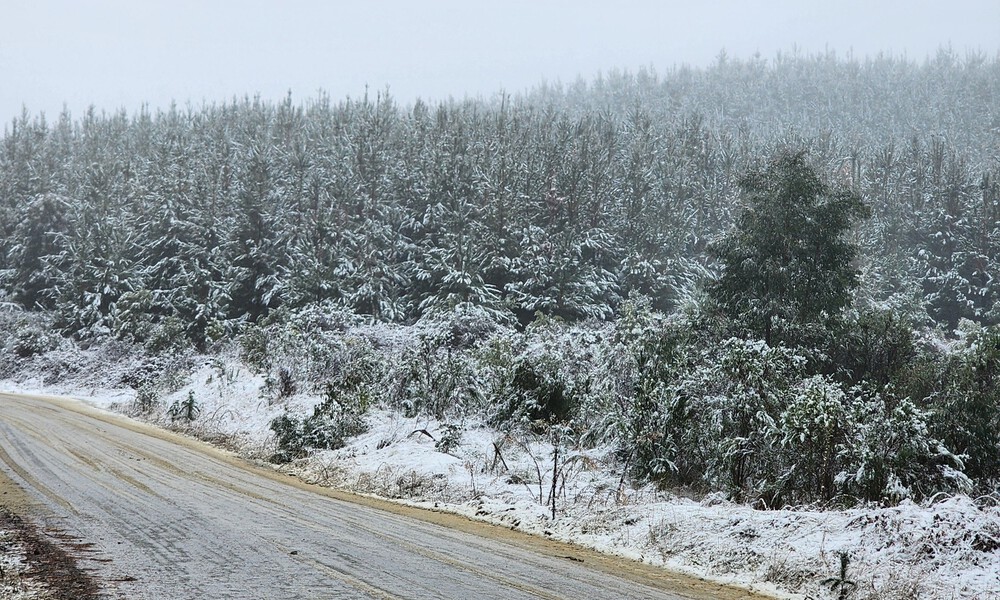
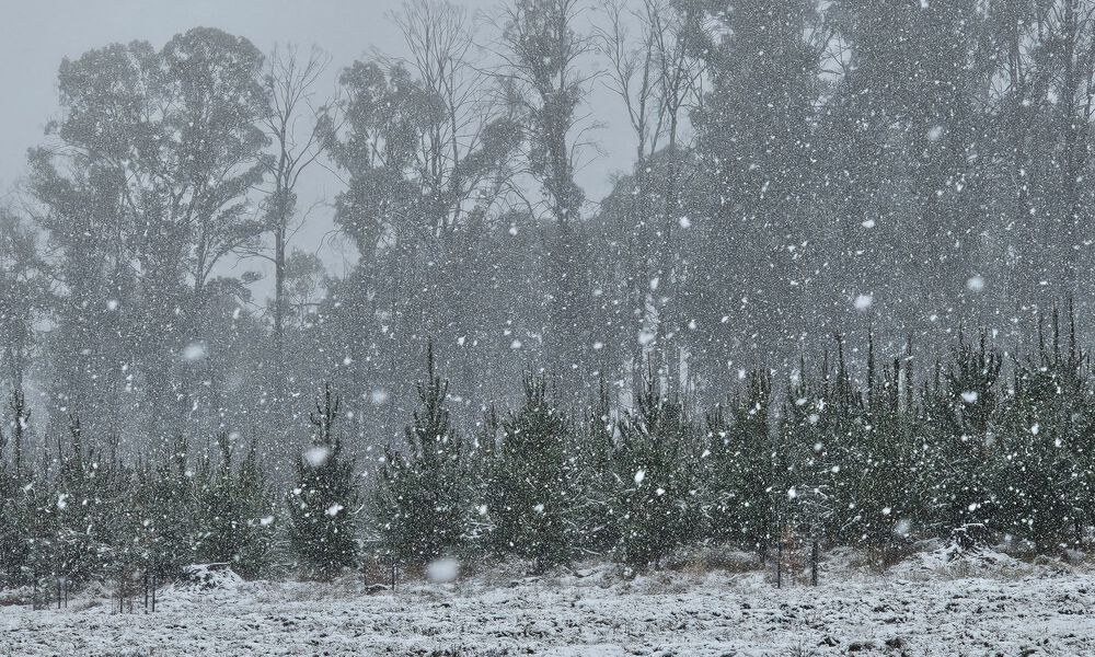
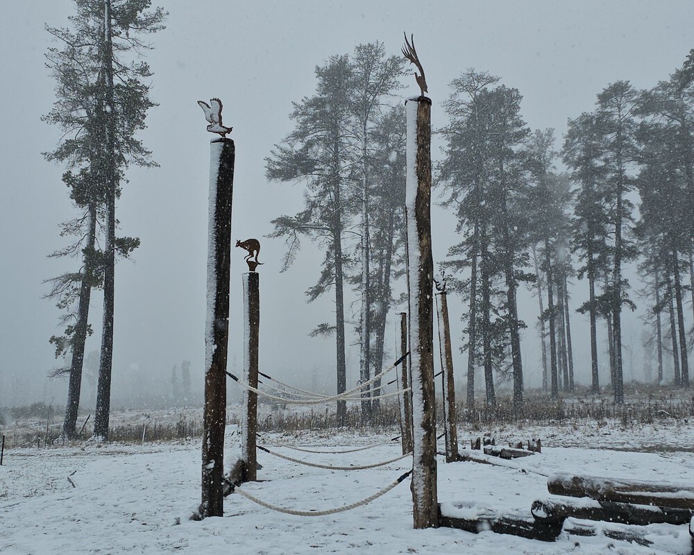
By midday, a thick white blanket had settled around Laurel Hill and the nearby Pilot Hill Arboretum—both sitting more than 1,000 metres above sea level—transforming the bushland into a breathtaking winter wonderland.
Laurel Hill, NSW | Image: Supplied/Taylor Spackman
Laurel Hill, NSW | Image: Supplied/Taylor Spackman
By 4pm, snow was falling in the township of Batlow itself, which sits at approximately 800 metres elevation.
Batlow resident Taylor Spackman told The Junee Bulletin it’s the first time she’s seen snow in her street in three years.
“I’m so excited!,” she said. “I’m located near the showgrounds so the lower side of Batlow. The last time I got snow on my doorstep was my first year here in 2022.”
Snow levels were forecast to drop as low as 600 metres in the area on Sunday night.
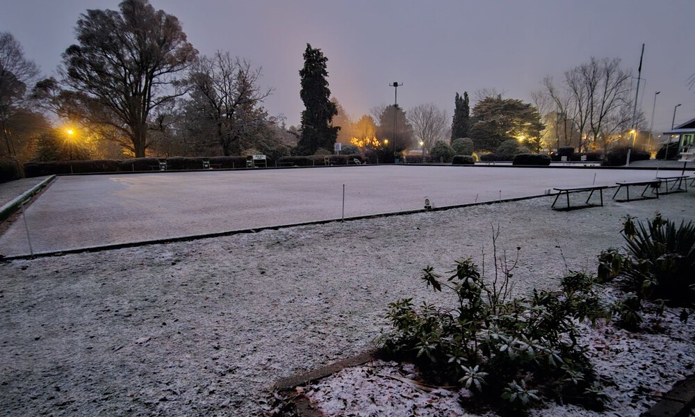
Snow blankets Batlow’s bowling greens on Sunday night | Image: Supplied/Taylor Spackman
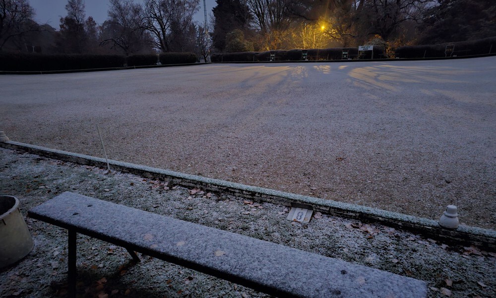
Snow blankets Batlow’s bowling greens on Sunday night | Image: Supplied/Taylor Spackman
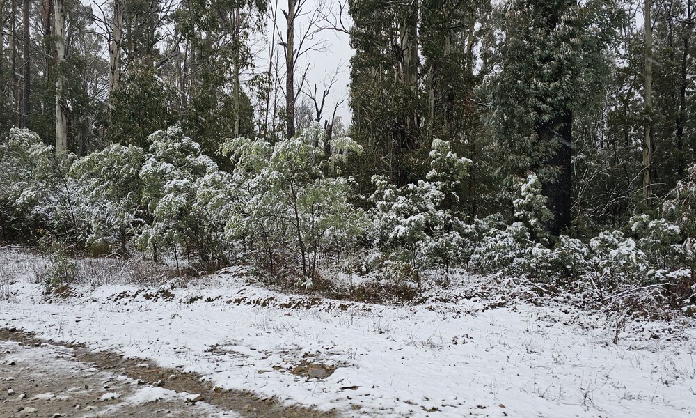
Snow settles on the ground in Batlow on Sunday afternoon | Image: Supplied/Taylor Spackman
Photos and videos from locals showed a landscape blanketed in white, drawing comparisons to a scene straight out of Narnia.
Among the most striking visuals were those captured at Laurel Hill, where snow fell gently over the new pine plantations, which have replaced the iconic sugar pine forest lost during the devastating 2020 Black Summer bushfires.
The contrast between the young regrowth and the fresh snow created a poignant and picturesque moment for the region.
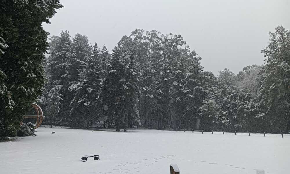
Laurel Hill, NSW | Image: Supplied/Paul Farrell
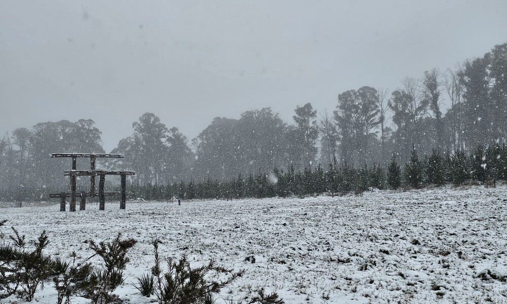
Laurel Hill, NSW | Image: Supplied/Taylor Spackman
Laurel Hill, NSW | Image: Supplied/Taylor Spackman
While snow delighted residents in the highlands, those at lower elevations were left shivering through a bone-chilling day.
In Junee, the mercury remained in the single digits all day, with a maximum temperature of just 7.5°C recorded at Wagga Airport at 4pm.
With wind chill factored in, apparent temperatures hovered below 4°C throughout much of the day.
Showers began sweeping through the region on Saturday night, with the Bureau of Meteorology recording 19mm of rain at Wagga Airport in the 24 hours to 9pm Sunday.
The polar storm system has dragged a mass of frigid Antarctic air across the southeast, ushering in one of the coldest starts to winter in recent memory.
Temperatures are expected to remain stubbornly low throughout the coming week, with Junee forecast to experience daytime highs of 12°C or less for at least the next six days.
Locals are being urged to prepare for continued cold and icy mornings, especially across elevated roads and exposed areas in the Snowy Valleys.
SAFETY ALERT FOR SNOW-BOUND TRAVELLERS
Drivers heading into alpine regions are urged to take extreme care.
- Drive to conditions and look out for black ice, especially during early mornings and late evenings.
- Keep headlights on low beam and avoid sudden braking or steering if you hit ice.
- Snow chains may be required on key roads, including:
- Alpine Way past Talbingo and Yarrangobilly
- Elliott Way between Tumbarumba and Selwyn
For up-to-date snow driving advice and chain bay locations, visit Transport NSW.
Check road conditions before you travel at Live Traffic NSW.
For the latest weather warnings and forecasts, visit the Bureau of Meteorology’s website.


THE BIG WHEEL | The Story So Far: Rain, resilience and a region united

Trees down, roads flooded as wild weather lashes Junee

Abby’s 400th game caps memorable month for Junee Jaguars