
Riverina
Polar blast to bring low-level snow, hail and icy wind
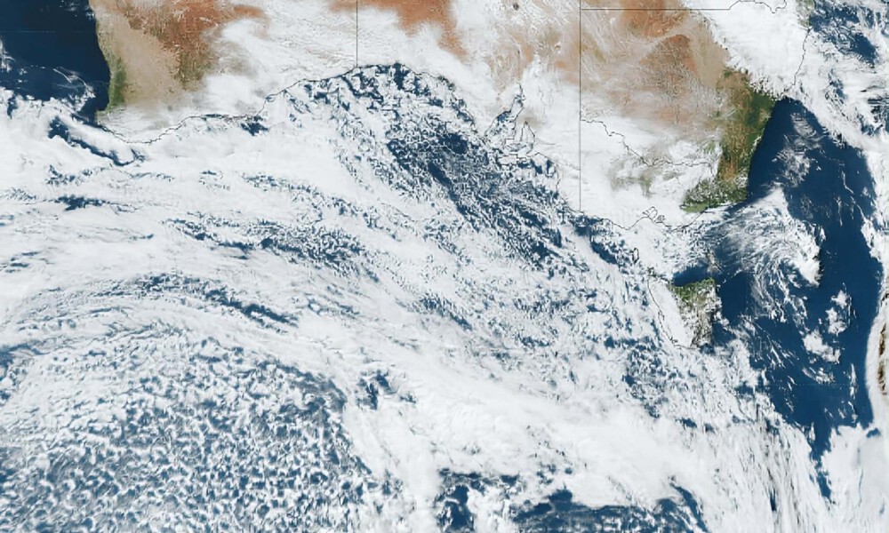
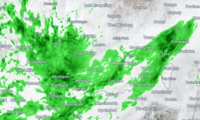
A POWERFUL polar storm is bearing down on southeast Australia, with a widespread low-level snow event now expected to unfold across multiple states as an intense cold outbreak grips the region.
The system will see frigid temperatures, showers, small hail and damaging winds sweep across New South Wales, the ACT, Victoria and Tasmania from Wednesday night into Thursday, as a strong cold front drags an exceptionally cold, moist and unstable polar airmass over the southeast.
It marks the second surge in a two-part system that delivered widespread rainfall earlier this week, but this next phase is expected to be significantly colder and far more dynamic.
According to Weatherzone meteorologist Anthony Sharwood, the setup will allow polar air to plunge deep into the mainland, creating conditions favourable for unusually low snow levels.
“By Thursday, snow is forecast to fall as low as 500 metres above sea level in Tasmania, 600 metres in Victoria, 700 metres in the Snowy Mountains of NSW, and 800 metres in the ACT and the NSW Central Tablelands,” he said.
“These snow levels would be relatively low for midwinter, let alone in early May, which is why some towns beyond the mountains can expect snow showers on Thursday.”
Locations such as Orange, which sits at around 860 metres above sea level, could see snow flurries, while higher elevations around Canberra may also receive snowfall.
“Snow is also likely in the immediate vicinity of Canberra, though not in the city itself or its suburbs, most of which sit at an elevation around 600 metres,” Mr Sharwood said.
Nestled in the foothills of the Snowy Mountains, parts of the Snowy Valleys could also be in line for snow, particularly on the higher ground around Batlow and Tumbarumba.
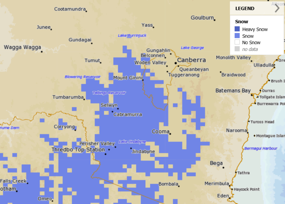
Forecast snowfall at 10am on Thursday, May 7, 2026 | Image: MetEye
Tumbarumba sits at about 650 metres above sea level, while Batlow is around 800 metres and Talbingo is closer to 400 metres.
While the lower valleys may only see showers, small hail or sleet, the hills around Batlow rise above 1000 metres, putting areas such as Pilot Hill, Laurel Hill and sections of the Snowy Valleys Sculpture Trail in the frame for snowfall.
If the moisture lines up with the coldest air, parts of the foothills could again be transformed into a winter wonderland.
Blizzard conditions are expected higher up in the Snowy Mountains, where heavy snow and very strong winds will create dangerous alpine conditions, with up to 20 centimetres forecast across the higher resorts.
Falls below the mountains are expected to be lighter and more transient, with many areas only seeing brief flurries, while lower elevations are more likely to experience showers, small hail and isolated sleet.
While the burst will deliver a taste of winter, Mr Sharwood said it is unlikely to have any lasting impact on the ski season.
“Generally speaking, May snowfalls do not contribute to the season’s snowpack unless they arrive in the final days of the month,” he said.
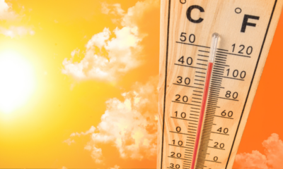
For the Riverina, the system is expected to bring a wintry mix of bitter temperatures, showers, small hail and biting winds as the coldest air moves through.
Junee is forecast to reach a maximum of just 12°C on Thursday, with strong winds expected to drive apparent temperatures close to zero.
Cold daytime temperatures are then expected to persist across the region through to at least Sunday.


Man threatened at knifepoint, dog injured in Wagga attack

Back on the Trek: Junee families lace up for loved ones lost to brain cancer

441km in 8 days: Samantha Longmore prepares for her biggest push yet