
Riverina
30mm in 30 minutes: Riverina towns drenched in late-winter deluge

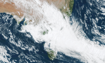
TEMORA has been hit by its heaviest August rainfall in four years, as a low-pressure system and associated trough fed by a warm, tropical airstream swept across the Riverina.
More than a month’s worth of rain fell on the town on Tuesday, August 25, with 49.4mm recorded at Temora Airport in the 11 hours to 11.30pm.
The site’s mean rainfall for the entire month of August is 37.5mm.
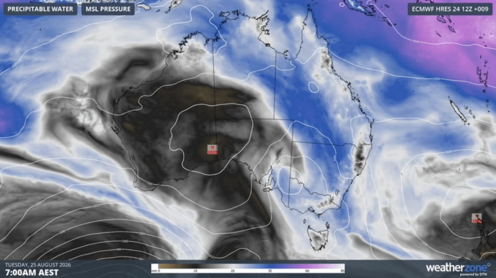
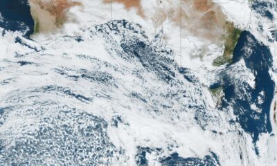
Modelled precipitable water and mean sea level pressure on Tuesday. Source: Weatherzone.
Tuesday’s drenching was Temora’s heaviest August rainfall in four years and its biggest drenching in five months, since 53.2mm was recorded in a single day in early March.
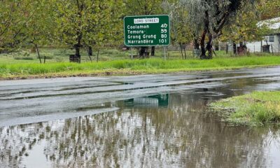
The heavy rain also forced the closure of a number of local roads across the Temora district.
Temora Shire Council said the entire length of Cedar Road remained closed on Wednesday morning, along with the northern end of Thanowring Road, while several other roads still had water across them.
“While the rain has eased, water levels are continuing to rise in some areas as floodwaters move through the catchment,” the council said.
“Conditions can change quickly and are difficult to predict, with some crossings becoming inundated even after rainfall has stopped.”
The town of Coolamon, 60km southwest of Temora, also copped a drenching, with residents reporting falls of up to 45mm from the weather event.
More than half of that total arrived in a single intense burst on Tuesday afternoon.
The heavens opened over the town about 5pm, with a small but powerful storm dumping more than 30mm on some properties in less than half an hour.
The intensity of the downpour caught locals off guard, with localised flooding quickly developing across parts of the town.
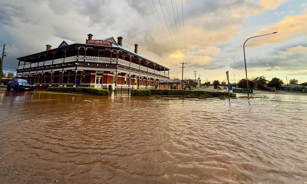
One striking image of the Coolamon Hotel surrounded by floodwater generated significant attention on social media.
Image: Coolamon Hotel
The photo, posted by the Coolamon Hotel on Facebook, quickly went viral, attracting thousands of reactions, comments and shares.
While the water did not enter the hotel, part of Coolamon’s main street was completely submerged at the height of the storm.
Such was the scene that some social media users questioned whether the image had been generated by AI, only to be quickly corrected by locals who had witnessed the flooding first-hand.
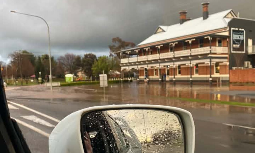
Image: Chris Guthrie
Local resident Kate Mills captured the below image after recording 35mm at her property.
“The house was standing in the middle of a river,” she said.
Another resident described their backyard as looking “like a swimming pool”.
“The big Showground dam is full and running over the western end. The cement drain running like a river,” another said.
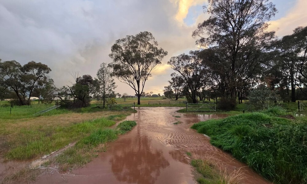
Image: Kate Mills
Thankfully, the floodwater receded almost as quickly as it had risen.
“It went down pretty fast,” one resident said.
The storm was extremely localised, with rainfall totals dropping away sharply just outside Coolamon.
“Five kilometres out the road and we had nothing,” one local said.
Rainfall totals varied considerably across the wider Riverina, with just 8mm reaching the ground at Hay, around 26mm recorded at Wagga Airport and about 35mm falling at Cootamundra.
Meanwhile, the threat of flooding has eased at Tumut after river levels peaked below the minor flood level overnight.
A final flood warning for the area was issued on Wednesday morning.
The wet weather is expected to give way to clearer and warmer conditions heading into the start of spring, with daytime temperatures forecast to climb over the coming week to reach 22 degrees by Tuesday, September 1










Man dies in hospital after horror Riverina crash

From calm to 50km/h: Wild winds surge through Junee Shire


