
Local
Winds top 100km/h, temperatures plunge as storms sweep Riverina

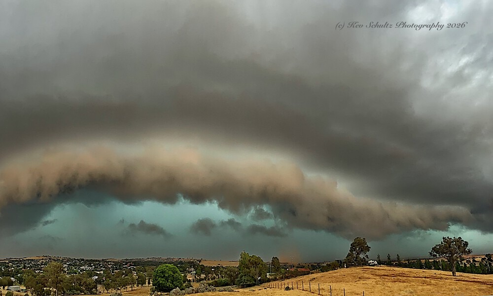
A MASSIVE band of severe thunderstorms swept across the Riverina on Sunday, unleashing 100km/h wind gusts, torrential rain and a dramatic plunge in temperatures as it surged through the region.
The powerful storm front, stretching approximately 1,000 kilometres from Lightning Ridge near the NSW-Queensland border to Victoria’s southeast coast, brought gusts reaching 100km/h, localised flash downpours, fallen trees and power outages.
The system swept into the western Riverina around 10.30am before tracking east, reaching Narrandera about 11.30am, Coolamon around midday and Junee shortly before 1pm.
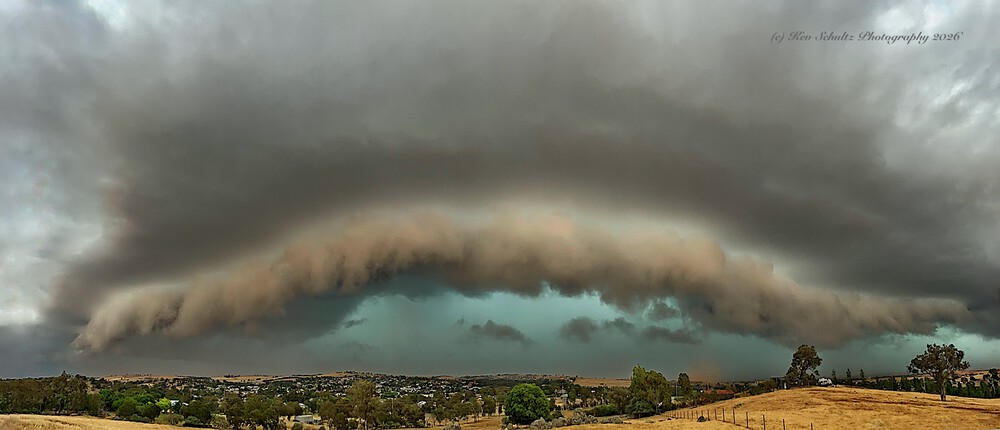
Sunday’s dramatic storm front approaching Junee | Image: Supplied/Kev Schultz
Residents in Junee watched as an imposing wall of dark, turbulent clouds rolled towards the town, bringing strong winds and an intense burst of rainfall.
Almost 20mm of rain was recorded in just under half an hour in Kemp Street, while approximately 14mm fell across the northern end of town.
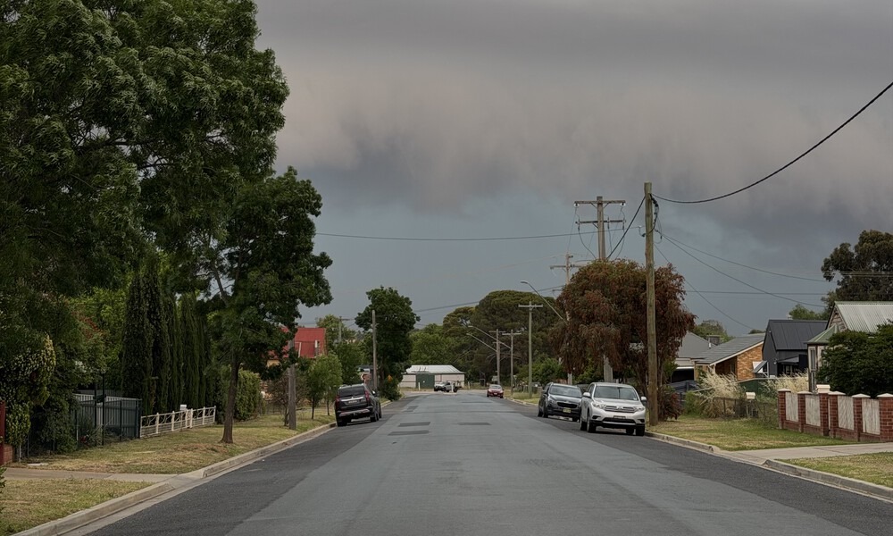
The approaching storm in Junee | © The Junee Bulletin
The sudden deluge caused roof leaks at several properties across the region, prompting calls for emergency assistance.
In Junee, emergency services were called to reports of a leaking roof at the Locomotive Hotel, while Fire and Rescue NSW crews were dispatched to a similar incident at a nursing home on Shaw Street in Wagga.
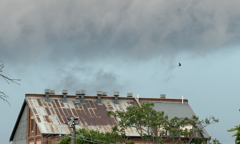
Ominous skies above the Junee Licorice and Chocolate Factory | © The Junee Bulletin
Some of the strongest winds were recorded further north and west of Junee, with the Bureau of Meteorology reporting a peak gust of 100km/h at West Wyalong at 12.31pm.
Narrandera Airport recorded a 95km/h gust at 11.39am, with the storm also disrupting electricity supplies to more than 1,000 customers in the area.
At nearby Kapooka, winds reached 85km/h shortly before 12.45pm, while Wagga Airport recorded gusts of 82km/h at 12.59pm, with winds remaining at that intensity for approximately five minutes.
Emergency services were dispatched to numerous reports of fallen trees and branches across a number of roads throughout the region, including Gundagai Road and the Olympic Highway.
The arrival of the storm also triggered a remarkable temperature drop in Wagga, where the mercury plunged 8.3 degrees in just 30 minutes, falling from 27.6°C at 12.30pm to 19.3°C by 1pm.
STRONGEST WIND GUSTS
According to Bureau of Meteorology observations:
- 100km/h – West Wyalong, 12.31pm
- 95km/h – Narrandera Airport, 11.39am
- 85km/h – Kapooka, 12.42pm
- 82km/h – Wagga Wagga Airport, 12.59pm
- 76km/h – Griffith, 10.54am
- 72km/h – Yanco, 11.33am
- 65km/h – Temora, 11.59am
While the main storm band has now pushed through Junee, unsettled conditions are expected to continue across the Riverina.
The Bureau of Meteorology has warned that further thunderstorms and heavy rainfall remain possible throughout Sunday afternoon.
Residents are encouraged to monitor the latest weather warnings, remain alert for further storm activity and avoid fallen trees, damaged powerlines and flooded roads.











Winds top 100km/h, temperatures plunge as storms sweep Riverina

Man dies in hospital after horror Riverina crash


