
Local
‘Fast and furious’: Watch as monster dust storm engulfs Junee
THE sky turned red over Junee on Thursday afternoon as a powerful dust storm charged across the shire, whipping up strong winds and reducing visibility.
Locals watched as a vast wall of dust approached the town from the west just before 4.30pm, with incredible video and photos capturing the moment the storm closed in.
The footage shows the dust cloud racing towards Junee, catching some farmers off guard in their paddocks and sending others retreating inside as residents rushed to shut doors and windows before the front hit.
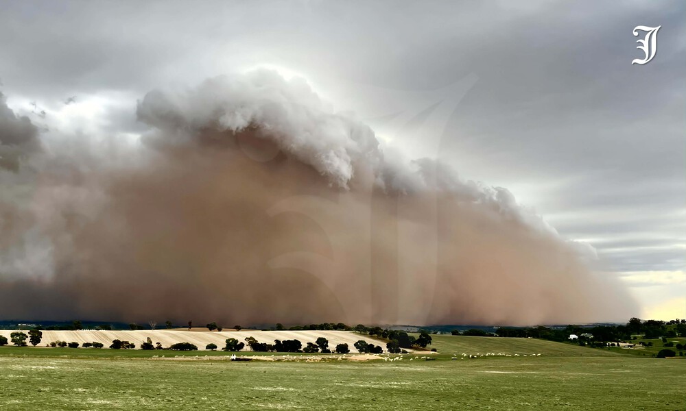
Photo: © The Junee Bulletin
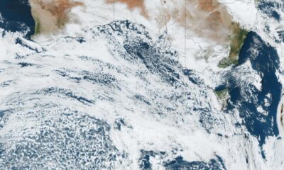
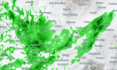
The front packed a punch as it ripped across the district, driven by a vigorous change that pushed across the Riverina and unleashed a burst of strong wind and showers as it surged east.
Wind gusts hit 70km/h at Narrandera Airport, while Kapooka recorded 67km/h and Temora reached 61km/h at 4.37pm. Multiple trees were also brought down across Wagga.
Described by locals as “fast and furious”, the wind-driven dust quickly gave way to showers, with more than 8mm of rain falling in the gauge at Wagga Airport in the hours after the front hit.
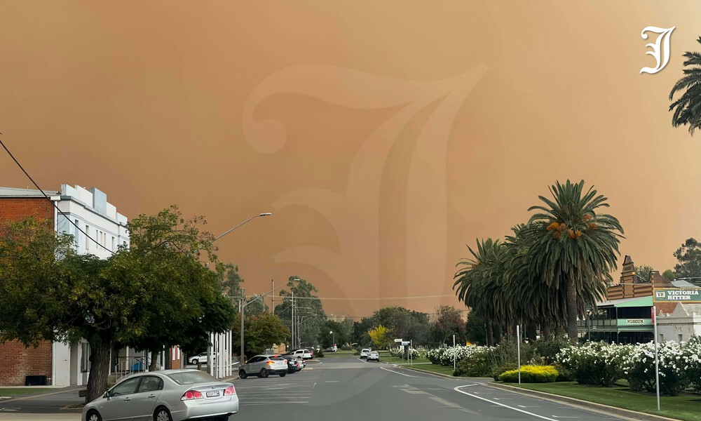
Photo: © The Junee Bulletin
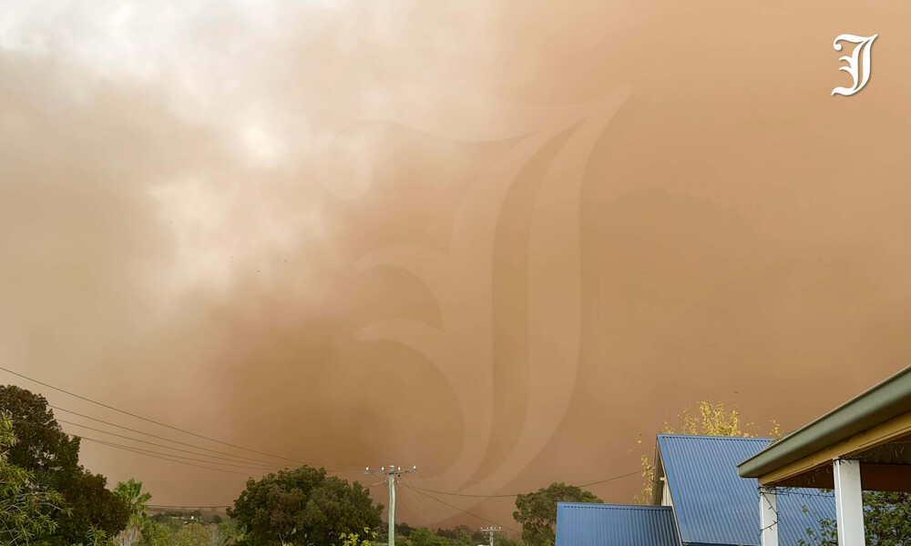
Photo: © The Junee Bulletin
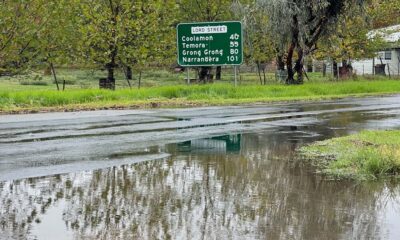
The mid-autumn dust storm also served as a stark reminder of how dry the landscape remains.
Longer-term climate drivers will now be watched closely, with the Bureau’s latest outlook pointing to below-average rainfall and warmer conditions across much of Australia in the months ahead.
While ENSO is currently neutral, El Niño — if it were to develop later in the year — typically brings reduced rainfall and warmer temperatures.
Thursday’s dramatic change, however, also marks the arrival of a strong autumn cold front, which is expected to bring a noticeable drop in temperatures across the region from Friday.
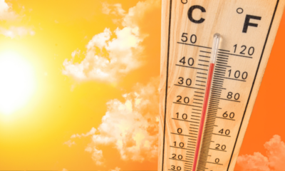
Forecast maximums are expected to remain below 20 degrees Celsius for three straight days, signalling a sharp shift to much cooler conditions in the wake of the front.
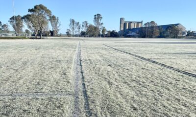


Winter finally arrives with strongest frost of the season

Alleged fugitives caught in dramatic roof, dog squad arrests

Why this man is running 300km around Junee’s harness racing track


