
Riverina
Flooding, severe storms possible as weather system strengthens

3:00PM | A SEVERE thunderstorm warning for damaging winds, large hailstones and heavy rainfall has been issued parts of the Riverina as a slow-moving low-pressure system sweeps southern NSW and Victoria.
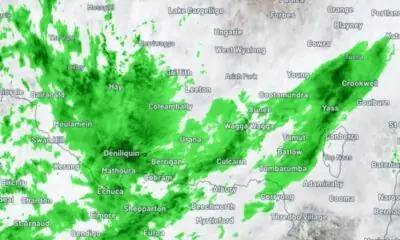
At 3pm, a line of severe thunderstorms were detected developing on weather radar stretching from Hay, in the western Riverina, to Albury on the NSW-Victoria border.
The Bureau of Meteorology warns these storms are developing in a moist and unstable airmass and are likely to produce damaging winds (90km/h+), large hailstones (2cm+) and heavy rainfall that may lead to flash flooding in the warning area over the next several hours.
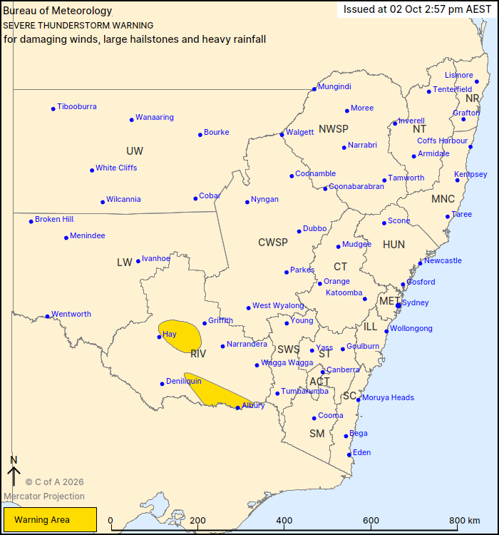
2:57pm Warning Zone | Source: Bureau of Meteorology
At 2.57pm, the Bureau warned locations which may be affected included Albury, Corowa and Jerilderie.
The warning is expected to be updated as the afternoon progresses, with more locations likely to be included.
Residents are urged to monitor the weather radar and latest official warnings on the Bureau of Meteorology’s website.
2:00PM | SEVERE thunderstorms, heavy rainfall leading to flash flooding, large hail and damaging winds will be possible across the Riverina on Friday and Saturday, as a slow-moving weather system brings a wet and stormy start to the October long weekend.
The Bureau of Meteorology is warning of a potentially significant thunderstorm outbreak across southern NSW, with storms developing across the Riverina on Friday afternoon and evening.
A slow-moving trough and associated low-pressure system is expected to generate a band of thunderstorms, with some storms potentially reaching severe thresholds.
The Bureau warns heavy rainfall from thunderstorms could lead to flash flooding, while large hail and damaging winds are also possible.
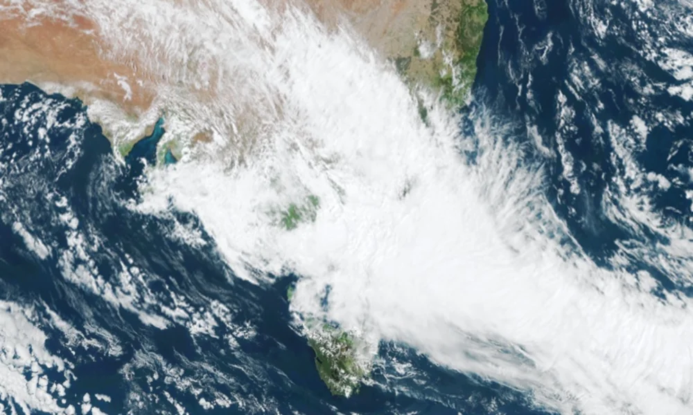
Satellite view showing extensive cloud cover across over southeast Australia at 2.20pm AEST Friday, October 2, 2026 | Source: Weatherzone
The threat is expected to continue into Saturday, with the trough strengthening and another round of severe afternoon storms possible across the region.
The weather system is drawing tropical moisture southwards towards a low-pressure system near the NSW-Victorian border.
That low is expected to drift slowly southeast across Victoria on Saturday before reaching the Tasman Sea on Sunday.
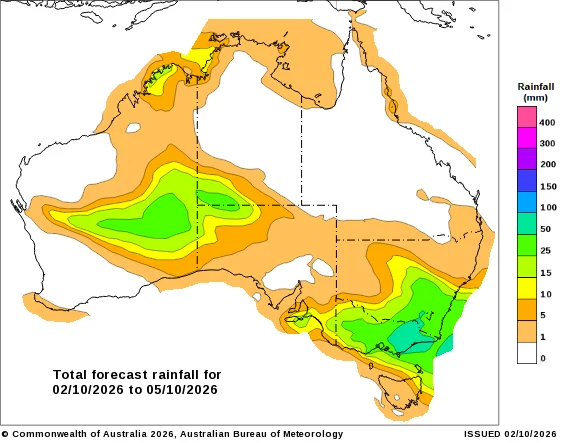
Rain began falling across parts of the Riverina overnight and continued through Friday morning, with several locations already recording measurable falls, including Albury with more than 20mm falling in the gauge there in the 14 hours to 2pm Friday.
The Bureau is forecasting widespread accumulated totals of 20-40mm across southern NSW from the multi-day event, although much of that rain could fall from a single thunderstorm.
Heavier totals of 50-100mm are possible closer to the NSW-Victorian border, including around Albury, while parts of eastern Victoria could receive isolated falls of up to 150mm, particularly over elevated areas.
Flood watches are in place across large parts of Victoria as the system continues to move through south-eastern Australia.
LOCAL RAINFALL TOTALS
According to Bureau of Meteorology observations, as at 2pm Friday, October 2:
ALBURY | 22.6mm
(Since 11pm Thursday, October 1)
TEMORA | 10.2mm
(Since 4.30am Friday, October 2)
JUNEE | 9.6mm
WAGGA WAGGA | 6.4mm
(Since 4.30am Friday, October 2)
Residents are urged to monitor the latest Bureau forecasts and website as the system develops, particularly if thunderstorms move through the region.











Flooding, severe storms possible as weather system strengthens

Wind in their hair: Cycling Without Age returns to Junee


